MODSIM 2023: Introducing new eWater Source Catchment Modelling Features
Introducing new eWater Source catchment modelling features
S. Azadi a, Shiroma Maheepala b
a eWater Group, Canberra, Australian Capital Territory, Australia,
b Vic Department of Energy, Environment and Climate Action, Melbourne, Victoria, Australia
The following abstract was presented at MODSIM 2023, Darwin, 9-14 July.
Abstract: Water is vital for life. Clean freshwater is necessary for drinking and sanitation, providing for crops, livestock, and industry, and creating and sustaining the ecosystems on which all life depends. However, freshwater is becoming scarce in many countries due to human population growth, disruption of natural water cycles in response to human activity, climate change, and poor water management. Australia, as the world’s driest inhabited continent with many different climate zones, has had to deal with many climate-related challenges, from highly variable rainfall and cycles of devastating floods to prolonged drought.
In response, Australia has developed water governance frameworks appropriate to its climate and environment contexts utilizing leading science, innovative technology, and proven water management tools.
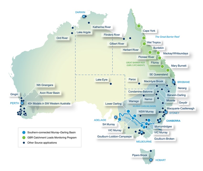
In this regard, eWater Source, Australia’s agreed National Hydrological Modelling Platform (NHMP), supports integrated planning, operations, and governance from urban, catchment to river basin scales, including human and ecological influences (https://ewater.org.au/, Dutta et al., 2013). eWater Source accommodates diverse climatic, geographic, water policy and governance settings for both Australian and international climatic conditions (Ly et al., 2020).
Water management often involves monitoring and modelling water quality and quantity; accordingly, water management practices are constantly evolving and improving.
Therefore, eWater Source requires ongoing development to enable eWater Source to meet emerging or specific water management requirements.
Working with the Victorian Government, eWater has added new features to eWater Source to support water quality and catchment modelling, a critical component of good water resources management, including the ability to:
- merge two catchment scenarios to be run as a single scenario,
- specify a catchment map reporting region,
- record flows and constituents in bulk for a specified set of sub-catchments and/or for a specified set of functional units,
- export different model components (such as nodes, links, and sub-catchments) as a spatial layer,
- assess spatial outputs using a mapping tool.
These new features improve the capability of eWater Source catchment modelling at larger spatial scales, provide additional visual diagnostics of spatial outputs and allow a bulk analysis of the water quality and catchment records. Employing Source with these recent enhancements can facilitate the implementation of water management projects in different areas, from the simulation of the interaction between land use changes and water quality and hydrological dynamics to identifying the impacts of alternative development scenarios on water resources.
Email: samira.azadi@ewater.org.au
References
Dutta, D., Wilson, K., Welsh, W., Nicholls, D., Kim, S., Cetin, L., 2013. A new river system modelling tool for the sustainable operational management of water resources. Journal of Environmental Management 121, 13–28.
Ly, K., Metternicht, G., Marshall, L., 2020. Simulation of streamflow and instream loads of total suspended solids and nitrate in a large transboundary river basin using Source model and geospatial analysis 744, article 140656.
Keywords: eWater Source, catchment modelling, water quality modelling, water management