
MUSICX, the industry-leading stormwater modelling tool, has been completely re-designed and rewritten while maintaining all the capabilities of classic MUSIC. MUSICX is the most significant upgrade of MUSIC in a decade. The users will see many additional benefits in our upcoming production release (v1.10) including a powerful and flexible tabular data editor. New features in […]
Software
Improving Livelihoods in Northern Cambodia

More than 300,000 people living in Stung Staung river basin in Northern Cambodia rely on agriculture for their livelihoods. Access to a clean water supply is fundamental for wellbeing and health particularly to prevent transmission of the COVID-19 virus. Increased food security, higher income for farmers and improved health in the villages can be expected […]
MUSICX 1.1

The eWater team has been working hard on a number of updates to MUSICX, with a new version out now, highlights include:– MUSIC-link – The ability to add notes to individual nodes– Additional recorders, including Overflow, Pipe flow, Water Level, Storage, Water Demand and Reuse– allowing a Monthly Pattern as Data Source for PET
Understanding the water resources of the Ayeyarwady Basin, Myanmar

The Ayeyarwady River is Myanmar’s largest and most commercially important river but its water resources are not well understood. With the support of the Australian Water Partnership, the Government of the Republic of the Union of Myanmar commissioned the first integrated assessment of the natural resources of the Ayeyarwady Basin. eWater lead the surface water […]
Revitalising Adelaide’s drainage reserves
Revitalised Reserves Connecting Communities Designing a Stormwater System for an Urban Biodiversity Corridor The drainage reserves that run diagonally through Pasadena from the Adelaide Hills to the Plains are hot, dry and barren. On an urban heat map (right), the reserves show up as the hottest areas in the locality, scarring the otherwise leafy suburb. […]
Paddock to Reef – Integrated Monitoring, Modelling and Reporting Program
Targeting investment to improve the health of the Great Barrier Reef. What is the Paddock to Reef program? The Paddock to Reef Integrated Monitoring, Modelling and Reporting Program (Paddock to Reef program) started in 2009 as a joint initiative of the Australian and Queensland governments to report on water quality improvement resulting from investment in […]
Strengthening Water Resources Management in Afghanistan
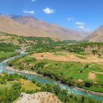
The Strengthening Water Resources Management in Afghanistan (SWaRMA) project is a two year collaboration between the governments of Afghanistan and Australia through the CSIRO. eWater, in collaboration with the CSIRO has supported the initiative through: Developing a Kabul Basin Model. Developing a Whole-of-Afghanistan water availability model. Capacity building in water resource modelling with eWater Source. […]
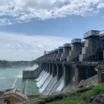
How Source supports the management of the Murray-Darling Basin
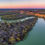
Source plays an important role in managing the waters resources of the Murray-Darling Basin
Integrated Water Resources Management in Lao PDR

Water is essential to life and culture in the People’s Democratic Republic of Lao. More than third of GDP and 75% of employment comes from subsistence agriculture, which is heavily dependent on rainfall and Lao’s rivers. Traditionally, the People’s Democratic Republic of Lao (Lao PDR) was considered a water rich country, but increasing demand for […]
Customising Source to manage blackwater risks
Construction of dams, weirs and use of water for irrigation, industry and towns has meant that many aquatic and floodplain ecosystems don’t get the water they did naturally. One way of addressing this is to construct infrastructure, such as regulators and embankments that allow water managers to simulate natural watering regimes with lower flows. While […]
Arghandab Integrated Water Resource Management Project – Afghanistan
Decades of war and political instability have decimated most of Afghanistan’s water infrastructure and reduced the technical capacity of the water resources sector. In response, the Government of the Islamic Republic of Afghanistan is undertaking a range of initiatives to invest in new infrastructure, improve water resource management and increase capability. One such initiative is […]
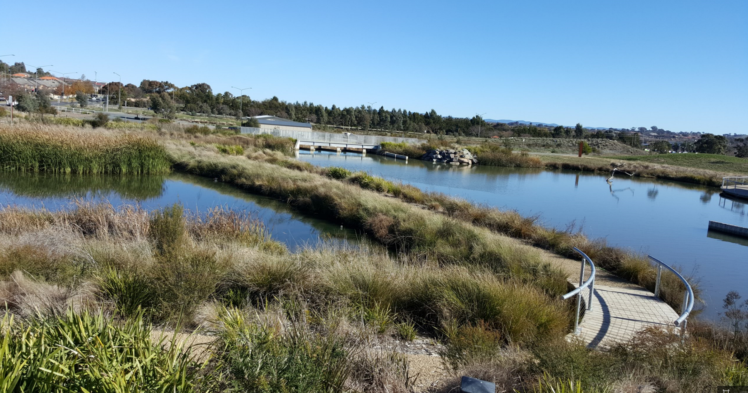
Using Source for water and catchment management in the Australian Capital Territory
Source models support strategic planning, policy development, catchment and water resource management in the Australian Capital Territory The models underpin the Australian Capital Territory (ACT) Water Strategy 2014-44 – Striking the Balance and support the ACT Government to meet its obligations under the Murray-Darling Basin Plan 2012. Together with eWater, the ACT Environment, Planning and […]
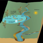
Introducing MUSIC X
MUSICX is the most significant upgrade to the industry standard MUSIC in a decade. MUSICX has been re-designed and re-written into modern software coding platform, maintaining all the capability of MUSIC V6.3 but giving users additional functionality and the benefits of modern software architecture. The real strength of MUSICX is the ability to link your […]
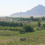
River Basin Models and Water Sharing Policy in the upper Godavari Sub-Basin, Maharashtra, India
eWater assisted the Maharashtra Department of Water Resources to develop a modelling framework to test water management options and to support the development of an integrated water resources management (IWRM) plan for the Upper Godavari sub-basin.
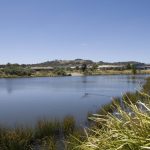
Melbourne Water – Improving water security with Integrated Water Resource Management
For 130 years Melbourne’s catchments and water infrastructure have provided for the water needs of Melbourne’s growing population and industry. Population growth and climate change are putting increasing pressure on Melbourne’s traditional water supplies. Melbourne Water is working with retail water company customers to adopt a more integrated approach to delivering water services, with the […]
Using Australian water tools to develop new drought metrics for Cambodia

eWater, in partnership with UN Economic and Social Commission for Asia and the Pacific (UNESCAP), Geoscience Australia (GA) and the Australian Bureau of Meteorology (BOM) implemented a pilot using space-based data to help water users in drought prone countries to better understand and manage droughts.

